 Sedona City Guide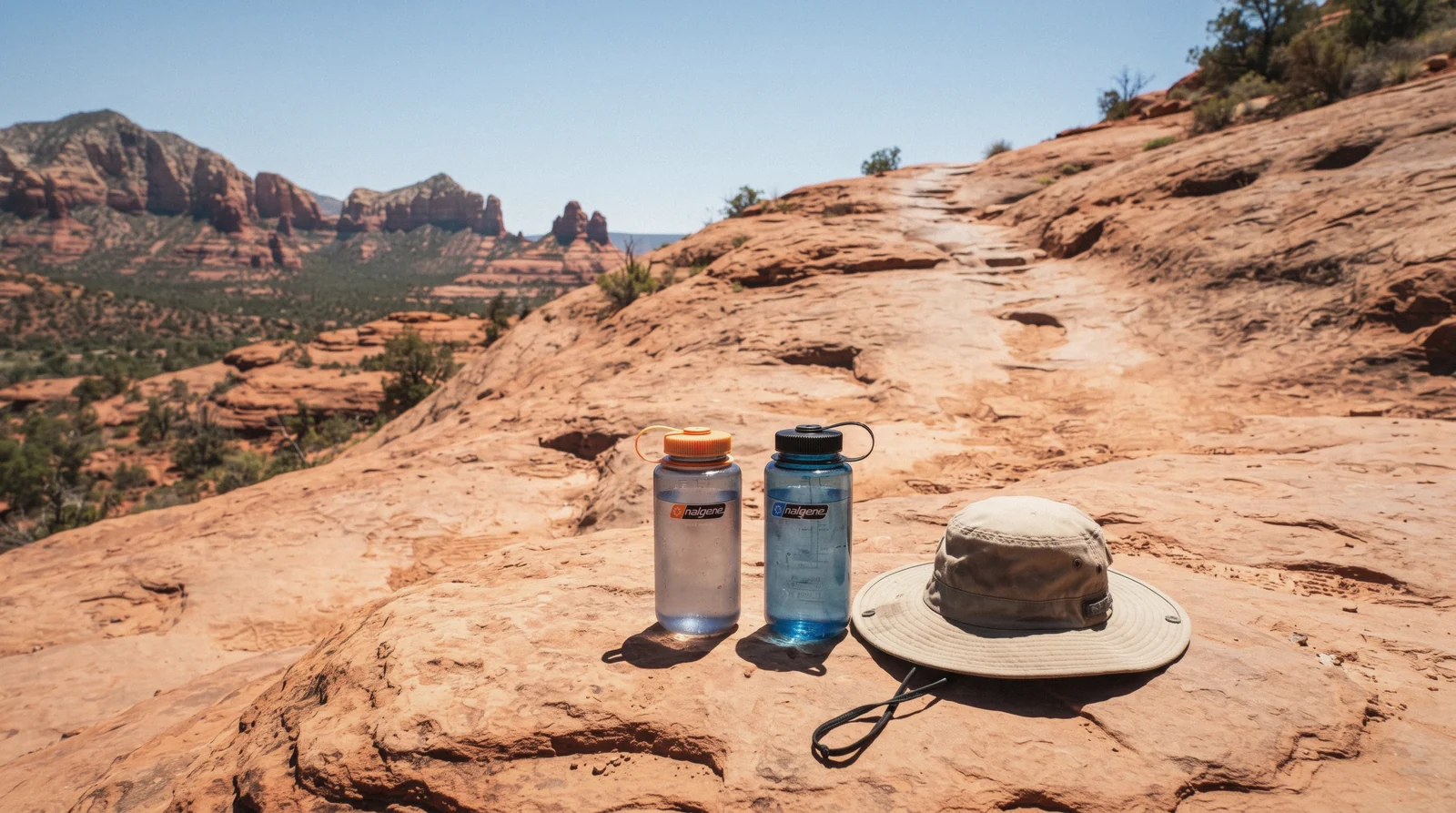
Sedona Hiking Safety
Sedona hiking safety comes down to two hazards the National Weather Service publishes guidance on every summer: heat that a slickrock trail with no shade will not forgive, and monsoon storms that can turn a dry wash into a flood inside minutes. This page sets out what the Weather Service, the Forest Service and Sedona Fire District actually publish, read in Q3 2026, and says plainly where no official number exists rather than repeating a figure from a blog or a forum thread. The guide covering the rest of a Sedona visit picks up once the trail is planned.
Quick answer Heat, flash floods, the scrambles, and what nobody counts
Two hazards drive nearly every Sedona hiking incident: heat, which the National Weather Service tracks with a HeatRisk scale of 0 to 4 and advises against strenuous activity outside the 4:00 to 7:00 am window on the worst days, and flash flooding, confined to a fixed monsoon window of 15 June to 30 September and concentrated in named canyons. Neither is a Sedona-specific number; both come from the same NWS offices that cover the wider region.
Key takeaways
- Hiking June through September? Start before dawn and carry 1 to 2 litres of water an hour outdoors, the NWS Phoenix office's own figure.
- Planning West Fork or Slide Rock? Both sit inside canyons the Flagstaff Weather Service names explicitly for flash flood risk.
- Cathedral Rock's trail is officially described as a scramble, not a hike; see which routes are steeper than they look.
- Want the risk assessment done for you? A guided wilderness hiking tour plans the route and the start time around that day's conditions.
Heat: the controlling risk, not the scenery
The National Weather Service does not set a single temperature threshold for Sedona; instead it uses HeatRisk, a five-level scale running 0 through 4, to communicate how dangerous a given day's heat actually is, combining temperature with how unusual it is for the season and for the area. On a day the scale flags as high risk, the NWS Phoenix office's own heat-safety page advises limiting strenuous outdoor activity to the coolest part of the day, specifically between 4:00 am and 7:00 am, and recommends anyone spending time outdoors in the heat drink 1 to 2 litres of water for every hour they are out there.
That guidance comes from the Phoenix (Valley) NWS office rather than a Sedona- or Flagstaff-specific numeric threshold, since no separate high-country page publishes its own figures; the same statewide HeatRisk framework is what applies here. In practice, that means checking the current HeatRisk level for the day before setting a start time, not assuming a 'cool mountain town' exemption from Arizona's summer heat rules. Which months run hottest is on the season page; this page covers what to do about it on the trail.
Sun and elevation, even on a cold day
Coconino National Forest's own safety page makes a point most visitors miss: it recommends sunscreen 'no matter the season,' because Sedona's elevation, about 4,500 ft on Visit Sedona's own published figure (no USGS benchmark elevation is published for the city itself), combined with the region's dry air, causes sunburn even in cold weather. A clear December day at altitude burns skin about as readily as a July afternoon does, just without the heat to warn you.
The practical read: sunscreen, a hat and sun-covering layers belong in the pack on every trail day this guide lists, not only the hot months. Combined with the hydration figure above, that is the Forest Service and Weather Service's full published sun-and-heat guidance for this area; nothing in either agency's material calls out a specific trail as more sun-exposed than another, so this guide does not invent one.
Flash floods: a fixed window, named canyons
The monsoon and flash-flood risk are two different agency publications that overlap on the calendar; both read in Q3 2026.
The National Weather Service sets the Arizona monsoon on a fixed calendar rule, 15 June through 30 September, not a forecast trigger, a rule in place since 2008 and covering the whole Flagstaff/Sedona forecast area. Storm activity typically starts quiet, builds through early and mid-July, peaks in August, and eases through September.
| Period | Typical pattern |
|---|---|
| 15–30 June | Window opens; usually the quietest stretch |
| Early to mid-July | Storm activity begins building |
| August | Usually the most active month of the window |
| September (through the 30th) | Activity winds down toward the window's close |
The National Weather Service's Flagstaff office (WFO FGZ) names two drainages specifically in its flash-flood guidance for this area: Oak Creek and Sycamore Canyons. Its published language warns of flooding possible in creeks, normally dry washes and swimming holes, with 'raging killer currents possible in side canyons and narrow slot canyons,' and it recommends changing hiking plans for any slot canyon or wash when a flash flood watch or warning is active. Both West Fork Trail, which follows Oak Creek directly, and Slide Rock State Park, inside the same Oak Creek Canyon, sit squarely inside that named risk zone.
Check the current forecast before either, not just the morning's sky.
The trails that are scrambles, not hikes
One trail in this guide's facts is officially documented as different in kind from the others, and a handful more carry hazard notes worth reading before the trailhead.
The Forest Service's own trail page for Cathedral Rock describes it as more of a rock scramble than a hike, over exposed rock, rated Strenuous despite its short length: 1.1 miles round trip with 669 ft of elevation gain, roughly 1.5 hours round trip. That combination, steep and exposed rather than long, is what catches hikers who judge a trail by its mileage alone.
| Trail | Round trip | Elevation gain | What the official page flags |
|---|---|---|---|
| Cathedral Rock | 1.1 mi | 669 ft | "More of a rock scramble than a hike," Strenuous rating |
| West Fork Trail (maintained section) | up to 6 mi | 221 ft at 3 mi | Inside the named Oak Creek flash-flood corridor |
| Devil's Bridge, Dry Creek Road approach | 1.6 mi | 371 ft | High-clearance vehicle needed to reach this trailhead |
| Soldier Pass Trail | 4 mi | 641 ft | Rated Moderate; bikes allowed only the first 1.3 mi |
Devil's Bridge has three separate approach trailheads, and the Forest Service publishes an elevation-gain figure for only the shortest of them, the Dry Creek Road high-clearance route; the two longer approaches, via Dry Creek Vista and Mescal, have no separately published gain figure, so this guide does not invent one for them. The span itself sits on exposed sandstone with a drop on either side; the Forest Service page does not publish a specific fall-hazard warning beyond the standard trail description, so this guide notes the terrain rather than asserting an official danger rating that doesn't exist.
What to carry, and what nobody promises you
Beyond the NWS hydration figure of 1 to 2 litres an hour outdoors, no Sedona-specific official page publishes a packing list, so this guide keeps to what the two hazards above actually require: more water than the hike's length suggests, since there is no shade and no reliable water source on any trail in this guide; sun protection regardless of the month; and a turnaround time set before you start, since the exposed scrambles above are harder and slower coming down than going up.
Phone coverage on Sedona's trails is not stated on any official Forest Service or county page this guide could find; treat it as unreliable rather than assuming a signal. Downloading an offline map before leaving town, and telling someone your planned route and return time, are the two precautions that cost nothing and are not contingent on cell service. A guided tour removes the navigation and pacing risk entirely by putting an experienced local guide between you and the decision points.
If something does go wrong, 911 reaches Coconino or Yavapai County dispatch depending on which side of town the trailhead sits, and the call handler will ask for the trail name and, if you have it, GPS coordinates rather than a description of nearby landmarks; an offline map app that shows your coordinates is worth having open before a signal drops rather than after. None of this guide's advice here substitutes for the judgment of whoever is actually standing on the trail that day; it is the baseline, not the whole plan.
What Sedona Fire District actually publishes
This guide looked for an official rescue count to put a number on how often Sedona hikers need help, and found none. Sedona Fire District does not publish an annual figure for heat-related or trail rescues on an official page; the special-operations section of its own site returned no such data as of in Q3 2026. News coverage describes individual multi-rescue days in July 2023 and July 2025 and offers rough comparisons to national park search-and-rescue volumes elsewhere, but that is reporting, not an official published statistic, and this guide does not attribute a number to Sedona Fire District that the district itself has not published.
What that silence should tell a hiker is not that the risk is low, only that it is unmeasured publicly. The Weather Service's HeatRisk levels and named flood canyons above are the closest thing to an official risk signal this area publishes, and they are worth checking before every summer trail day rather than substituting a guess about how many rescues happen.
Checking conditions before you leave the trailhead lot
Both hazards on this page are forecast-driven rather than fixed, so the single most useful habit is checking the current status before setting out rather than relying on the season alone. The National Weather Service's Flagstaff office publishes its Flash Flood Warnings and Watches in real time and is the same office that names Oak Creek and Sycamore Canyons in its guidance; the same office's forecast covers the HeatRisk level for the day. Coconino National Forest's own trail pages, linked throughout this guide, occasionally carry closure notices for a specific trailhead, road washout or heat closure; Honanki, for instance, closes above 100°F on the Forest Service's own posted rule, a pattern that suggests other high-heat closures are possible without always being announced in advance.
None of that replaces judgment at the trailhead itself. If the sky darkens over the canyon rim during a summer hike, or a wash that was dry on the way in is running on the way out, the National Weather Service's own advice for this area is to change the plan rather than to press on, worded plainly on its flood-risk page: routes into a slot canyon or a wash are the ones to reconsider first.
Wildlife: what is published, and what is not
Visitors researching Sedona hiking safety often ask about rattlesnakes, mountain lions and whether bears live in the area. This guide could not find a Sedona-specific official page from the City of Sedona, Coconino National Forest or Arizona Game and Fish publishing a wildlife-encounter figure, a sighting count or a species-specific safety rule for the trails covered here, so none is printed as fact on this page. That is a gap in what is published, not a claim that the risk is zero.
The general precaution that applies regardless of species, and that does not require an invented statistic to be useful, is the same one that applies to any Southwestern desert trail: stay on the marked path, do not reach into rock crevices or under ledges without looking first, keep a respectful distance from any wildlife encountered, and give a rattlesnake sighted on or near a trail room to move away on its own rather than approaching it. If a specific current concern, a closure or an active-wildlife advisory is posted at a trailhead kiosk on the day you hike, that posted notice is the more current and more local source, and it overrides anything general written here.
Hiking solo versus hiking with a guide, on the risk factors above
None of the hazards on this page are eliminated by joining a guided trip, but two of them are meaningfully reduced. A licensed guide on a tour like the guided wilderness hiking tour checks the day's HeatRisk level and the current flash-flood guidance before choosing the route, which removes the step most solo hikers skip. Pacing and turnaround timing, the two judgment calls this page keeps returning to, are also the guide's responsibility rather than the hiker's on a led trip.
What a guide does not change is the terrain itself: Cathedral Rock's scramble is the same scramble whether led or solo, and a guide cannot make a slot canyon safe during an active flash-flood warning, only choose not to enter it. A Jeep tour or an e-bike tour sidesteps the hardest terrain and the heaviest heat exposure entirely by keeping most of the day off foot, which is worth considering directly rather than as a fallback if the hazards above outweigh the appeal of a specific trail.
Working backward from the 4:00 to 7:00 am window
The NWS heat guidance says start early; here is what that means against the actual time a Sedona trail takes, using the Forest Service's own published round-trip estimates.
Four trails from this guide, each worked backward from the NWS's 4:00 to 7:00 am strenuous-activity window using the Forest Service's own published round-trip time or distance:
| Trail | Forest Service round trip estimate | Latest comfortable start on a high-risk day |
|---|---|---|
| Cathedral Rock | about 1.5 hours | 5:30 am, to be off the exposed rock by 7:00 am |
| Soldier Pass Trail | about 2.5 hours | 4:30 am, to finish inside the cool window |
| West Fork Trail (maintained 3 mi section) | 2 to 3 hours | 4:00 to 4:30 am for the full maintained distance |
| Devil's Bridge, short approach | roughly 1 hour, based on its 1.6 mi length | 5:30 to 6:00 am |
None of these times are official Forest Service safety recommendations; they are this guide's own arithmetic, working the NWS's 4:00 to 7:00 am strenuous-activity window backward against each trail's own published length or time estimate. A hiker who starts at 6:00 am on Soldier Pass, using the Forest Service's own 2.5-hour estimate, is still on the trail an hour into the window where the NWS advises against strenuous activity. The margin matters more on a longer trail than a short one, which is the opposite of how most visitors plan their day: it is tempting to treat a short trail like Devil's Bridge's 1.6-mile approach as forgiving of a late start precisely because it is short, when in practice a short, exposed scramble in full mid-morning sun can be harder on the body than a longer trail finished before the heat arrives.
Building the start time around the trail's length rather than around when the group actually wakes up is the single adjustment that does the most work here.
Guided options that carry the risk assessment for you
Four GetYourGuide listings where an operator, not a solo hiker, is reading the day's heat and terrain. Prices and ratings are the operator's own, checked in Q3 2026.
 from $275
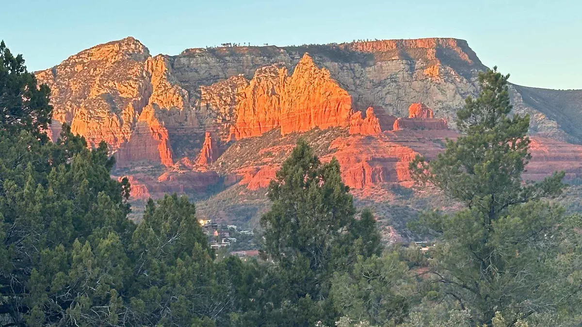
Sedona: Guided Wilderness Hiking Tour
A guided hike on off-the-beaten-path backcountry trails away from the busier named trailheads, aimed at travelers who have already done Cathedral Rock or Devil's Bridge. Suits repeat visitors who want less foot traffic over a bucket-list summit.
Check Availability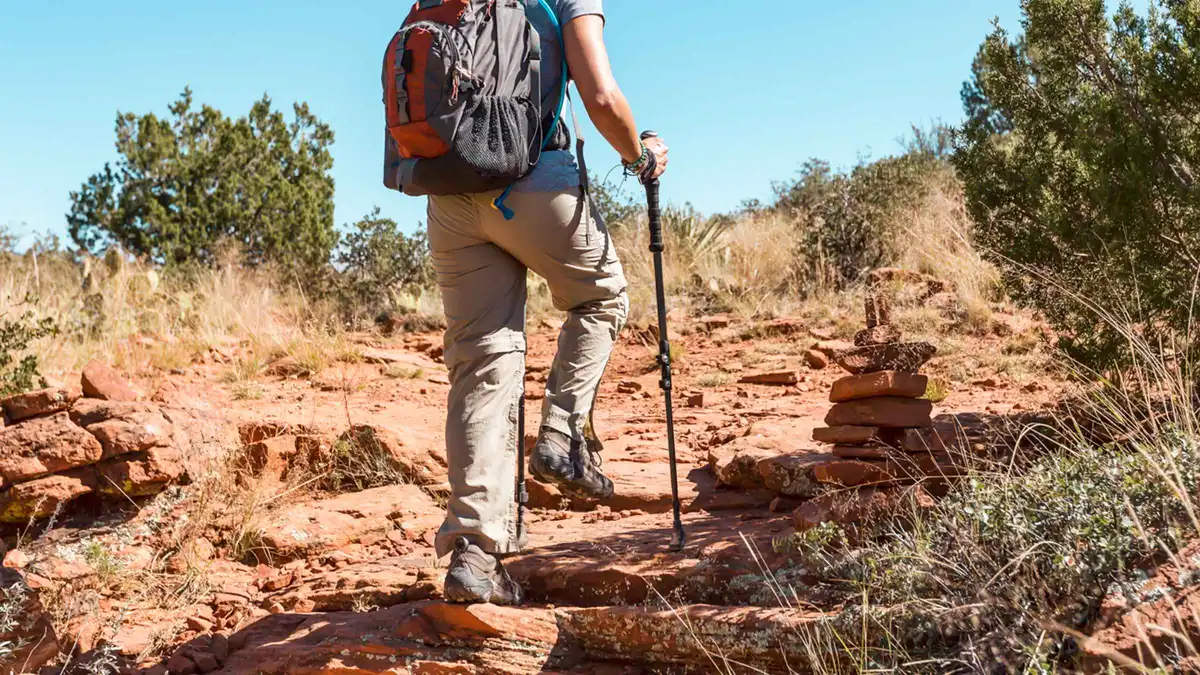 from $123.86
From Sedona: Archeology and Nature Hike
A Jeep ride to a private access point followed by a short, flat 2-mile hike to Native American ruins, positioned as an easier alternative to Palatki or Honanki. The same Sinagua-era dwelling style can be seen without a guide at Palatki Heritage Site, which requires a Red Rock Pass plus a free Recreation.gov reservation.
Check Availability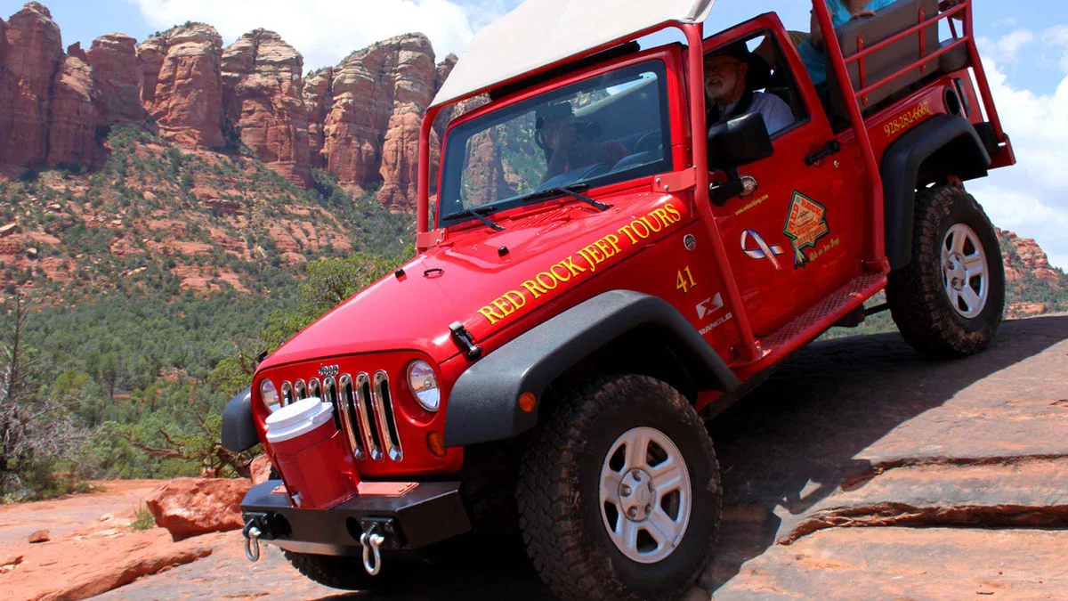 from $159.95
Sedona: Private Soldiers Pass Jeep Tour
A private 2-hour Jeep run through the Soldier Pass area with no other travelers in the vehicle. Suits couples or families who want their own pace and their own guide rather than joining a shared group.
Check Availability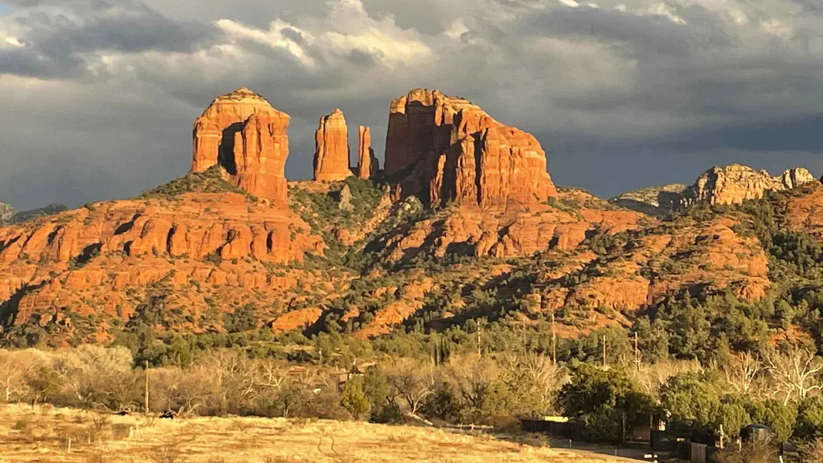 from $185
Sedona: Cathedral Rock Vortex E-Bike Tour
An e-bike ride to Crescent Moon Park below Cathedral Rock, mostly on paved roads with a short stretch shared with car traffic. Suits riders who want the vortex viewpoint at Cathedral Rock without the steep hike up the rock itself.
Check AvailabilityPrices, ratings and details are the platform's own, checked in Q3 2026; dollar figures are the listed prices — the platform bills in your account's currency.
Plan the day around the risk
Which months run hottest
The full monthly weather picture behind the heat guidance above: best time to visit Sedona.
June–August average highs above 31°CThe scramble itself
What the climb up Cathedral Rock actually involves, hand-over-hand sections included: Cathedral Rock.
1.1 mi round trip, StrenuousInside the flood corridor
The trail the Weather Service's Oak Creek flood warning covers directly: West Fork Trail.
Follows Oak Creek for 3+ milesSedona hiking safety: questions
How hot does it get on a Sedona trail?
June through August average highs of 31 to 33°C (88 to 91°F) with no shade on most trails. The National Weather Service tracks the actual daily risk with its HeatRisk scale rather than a fixed temperature; see the heat section for the guidance that comes with it.
What is Arizona's HeatRisk system?
A National Weather Service scale from 0 to 4 that communicates how dangerous a given day's heat is, combining the temperature with how unusual it is for the time of year. On a high-risk day, the NWS advises limiting strenuous activity to 4:00 to 7:00 am. Detail in the heat section.
When is flash flood season around Sedona?
The same fixed monsoon window as the rest of Arizona, 15 June to 30 September, with the National Weather Service naming Oak Creek and Sycamore Canyons specifically as flood-risk drainages. See the flood section for which trails that covers.
How much water should I bring on a Sedona hike?
The NWS Phoenix office's own guidance is 1 to 2 litres for every hour spent outdoors in the heat. There is no shade and no reliable water source on the trails in this guide, so pack more than the mileage alone would suggest; see what to carry.
Which Sedona trail is more dangerous than it looks?
Cathedral Rock's trail is officially described by the Forest Service as more of a rock scramble than a hike, over exposed rock, despite being just 1.1 miles round trip. The scrambles section compares it with three other trails' published hazard notes.
Does Sedona publish how many hikers need rescue each year?
No. Sedona Fire District does not publish an official annual rescue count on any page this guide could find, so no number is attributed to it here. What is and isn't published covers what does exist instead.
Should I check the trail or the weather before I go?
Both. The National Weather Service's Flagstaff office publishes flash-flood warnings and the day's heat risk in real time, and the Forest Service's own trail pages occasionally post closures, including Honanki's automatic closure above 100°F. Checking conditions covers where to look for each before leaving the trailhead lot.
Are there rattlesnakes or bears near Sedona's trails?
No Sedona-specific official page publishes an encounter rate or species-specific safety rule for local trails, so this guide does not print a figure it cannot source. General desert-trail precautions, staying on the path and giving wildlife room, are in the wildlife section.
Sedona Hiking Safety, on Video
Three clips from Arizona fire and news sources covering the same heat, water and rescue questions this page answers.
Sedona fire chief gives tips about staying safe while hiking
Sedona's own fire chief on the practical version of the heat and water guidance above.
Video: Arizona's Family (3TV / CBS 5)ABC15 talks hiking safety tips after a group got stuck near Sedona
A news segment built around an actual Sedona rescue call, with the safety lessons drawn from it.
Video: ABC15 ArizonaHow hikers can stay safe from Arizona's venomous creatures while exploring the outdoors
A wildlife-safety angle that complements the heat and terrain risks covered on this page.
Video: 12 NewsVideos load from YouTube only when you press play.
Reviewed Q3 2026 (July–September 2026); next review Q4 2026. Prices, hours and terms are set by the venue or operator and confirmed at checkout.
We may earn a commission if you book through one of our links, at no extra cost to you. Full affiliate disclosure