 Sedona City Guide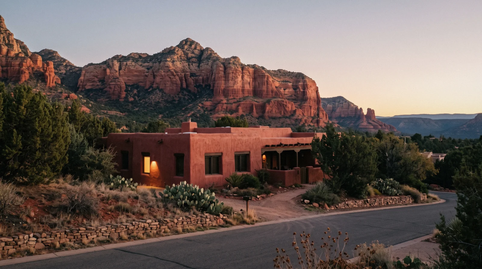
Where to Stay in Sedona
Where to stay in Sedona is really a question about which trailhead you want to wake up closest to, because Sedona is not one walkable centre the way a European old town is: it is a town strung along two highways, SR-89A and SR-179, with the trails scattered around its edges. This page compares six areas, from the shops of Uptown at the highway junction locals call the Y, out to the canyon lodges and the two towns most visitors only reach by driving through, Cottonwood and Flagstaff, on what each one puts you closest to and what it costs you in car time. For how this area choice fits the rest of a Sedona trip, see the guide's own summary of what to book first. The hotel and rate detail sits in the cards at the bottom; the decision is in the table.
Quick answer First visit, hiking, budget, quiet: one area for each
Uptown Sedona, at the SR-89A/SR-179 junction, is the walkable choice for a first visit: shops, restaurants and evenings on foot, with a short drive to most trailheads. Anyone building the trip around hiking sleeps in West Sedona or the Village of Oak Creek instead, both a few minutes from a cluster of trailheads. Cottonwood and Flagstaff are the two towns people stay in to save money, and both add a real drive back into Sedona.
Key takeaways
- First visit, no car worries about the evening: Uptown Sedona, a short walk from Main Street and a short drive from Airport Mesa and the jeep tours that leave from town.
- Building the trip around trails: West Sedona sits closest to Soldier Pass, Doe Mountain and the Devil's Bridge approaches; Village of Oak Creek sits closest to Bell Rock and Cathedral Rock.
- Saving money on the room and paying for it in drive time: Cottonwood and Flagstaff, both covered in day trips from Sedona.
- Once you know your area, see the areas on the map and compare hotels by area.
Six areas compared: trailheads, walking, the car question
What each area puts within reach without a car, and what it costs you in drive time to the trails everyone actually hikes. Trailhead distances are our own reading of the road network from each area's centre, not an official figure; no Sedona or Coconino National Forest page publishes drive times between neighbourhoods.
| Area | Closest trailheads | On foot | Car needed? | Evenings |
|---|---|---|---|---|
| Uptown Sedona | Airport Mesa Loop, a short drive; most Red Rock Pass sites are 10-15 minutes out | Main Street shops, restaurants, several viewpoints | Yes for almost every trail; the free shuttle covers Cathedral Rock, Soldier Pass and the Mescal stop for Devil's Bridge Thursday-Sunday | The liveliest of the six, with traffic and foot traffic on Main Street into the evening |
| West Sedona | Soldier Pass, Doe Mountain, Fay Canyon, the Dry Creek Road and Chuckwagon approaches to Devil's Bridge | Grocery stores, chain and local restaurants along SR-89A | Yes, but several trailheads are a five-to-ten-minute drive rather than fifteen | Quieter after dark than Uptown; strip-road traffic on SR-89A by day |
| Village of Oak Creek | Bell Rock Pathway, Courthouse Butte Loop, and Cathedral Rock via Back O'Beyond Road | A grocery store and a handful of restaurants; golf courses rather than a walkable strip | Yes for everything; this area sits south of Uptown on SR-179 with no shuttle stop of its own | The quietest of the three central areas; a golf-course and residential feel after dark |
| Oak Creek Canyon | The West Fork Trail (Call of the Canyon fee area) and Slide Rock State Park, both directly off SR-89A | A handful of lodges and cabins; shops and restaurants are scarce | Yes to reach Uptown or any other trailhead; competitor sources place this stretch roughly 15-20 minutes north of Uptown on SR-89A, not an official figure | The quietest option of all: forest and creek sound, no strip to walk |
| Cottonwood | None directly; it is a Verde Valley base, covered in day trips from Sedona | Its own Old Town district, unrelated to Sedona's trails | Yes, or the Verde Lynx local bus into Sedona, about 30 minutes to Tlaquepaque | A working Arizona town rather than a resort strip; cheaper rooms, a real commute |
| Flagstaff | None in Sedona; Flagstaff is its own base for the Grand Canyon, Sunset Crater and Walnut Canyon | A walkable historic downtown of its own | Yes; the drive back to any Sedona trailhead runs through Oak Creek Canyon on SR-89A | A university and mountain-town evening, at 6,821 ft and noticeably cooler than Sedona |
'Car needed' answers the trailheads specifically; every area above has some walkable amenities of its own. No Sedona city or Coconino National Forest page publishes area-to-trailhead drive times, so the trailhead column states destinations and, for Oak Creek Canyon, a competitor-reported range rather than an official figure.
The six areas on the map
Terracotta pins mark each area's approximate centre; green pins are the two fixed points most itineraries measure against, the SR-89A/SR-179 junction ("the Y") in Uptown and Bell Rock on SR-179. Coordinates are area centres read from public map data, not surveyed points, since no official source publishes neighbourhood boundaries for Sedona.
Uptown Sedona: the walkable choice for a first visit
Uptown sits right at the Y, where SR-89A from Flagstaff meets SR-179 toward the Village of Oak Creek, and it is the closest thing Sedona has to a walkable centre: Main Street's galleries, restaurants and jeep-tour storefronts, plus several roadside viewpoints, all on foot. It is also the base every first-time visitor defaults to, which means it is the loudest of the six areas after dark and carries the heaviest traffic through the Y itself.
Two paid sights sit inside easy walking or driving distance without needing a Red Rock Pass at all: the Sedona Heritage Museum at 735 Jordan Rd, $10 adult and free under 13, open daily 11:00 am-3:00 pm; and Tlaquepaque Arts & Shopping Village at 336 SR-179, free to walk, Monday-Thursday 10:00 am-5:00 pm and Friday-Sunday 10:00 am-6:00 pm, closed Thanksgiving and Christmas, with free parking on site and a Sedona Shuttle stop at the municipal lot nearby. The trade for staying this central is the drive to the trails: Airport Mesa's loop is close by, but most of the fee trailheads that need a Red Rock Pass, including Soldier Pass and the Dry Creek Road approaches to Devil's Bridge, sit ten to fifteen minutes out along SR-89A or the roads off it. Full detail on hours, price feel and what the streets look like street by street is on the Uptown Sedona guide; this page compares it against the other five.
West Sedona: for building the trip around trails
West Sedona is the stretch of SR-89A west of the Y, and it functions as the town's practical spine: grocery stores, chain restaurants and the local mid-range hotel stock, with none of Uptown's gallery-and-gift-shop density. What it buys is proximity to the trailheads that cluster around Dry Creek Road, off the west end of SR-89A. Soldier Pass Trail, closer to the Uptown side of the area, runs 4 miles round trip with 641 ft of elevation gain, rated Moderate by the Forest Service, with bikes allowed only on the first 1.3 miles to the wilderness boundary. Doe Mountain climbs 0.7 miles to the top of its mesa, or 1.3 miles round trip around the rim, 542 ft of gain, rated Moderately challenging. Fay Canyon is the easy option here, 2.1 miles round trip with only 144 ft of gain.
Devil's Bridge has three separate approaches from this side of town, and which one you get depends on the road, not the walk: 1.6 miles round trip and 371 ft of gain from the Dry Creek Road trailhead itself, if your vehicle can handle the high-clearance road in; 4.0 miles round trip from the Mescal trailhead, which the free Sedona Shuttle also serves Thursday-Sunday; or 5.8 miles round trip from Dry Creek Vista via the Chuckwagon connector, the longest and flattest approach. A car is still the way in and out for almost every trail here, but the drive is shorter than from Uptown, often five to ten minutes rather than fifteen. Evenings are quieter than Uptown; the traffic here is daytime SR-89A traffic rather than a Main Street crowd. The area's own restaurants, trailheads street by street and what a night here actually sounds like are on the West Sedona guide.
Village of Oak Creek: for Bell Rock and Cathedral Rock
South of Uptown on SR-179, the Village of Oak Creek, sometimes called Big Park by long-time residents, is a golf-course and residential community that grew up separately from Sedona proper and has since been absorbed into the same tourist map. It has its own grocery store and a handful of restaurants, but nothing like Uptown's walkable strip, and no stop on the free Sedona Shuttle. The Chapel of the Holy Cross, free and open 9:00 am-4:45 pm daily, sits on Chapel Rd along the same SR-179 corridor between Uptown and this area.
What it does have is the closest lodging to the trailheads people come to Sedona for. Bell Rock Pathway runs 3.5 miles one way, about 2.5 hours round trip, only 185 ft of elevation change, rated Easy and family-friendly on a wide hard surface. The Courthouse Butte Loop, reached from either the Courthouse Vista or Bell Rock Vista trailhead, covers 3.8 miles round trip with 297 ft of change, rated Moderate. Cathedral Rock's own trail, via Back O'Beyond Road, is the outlier: just 1.1 miles round trip but 669 ft of gain, rated Strenuous and described by the Forest Service as more of a rock scramble than a hike. This is the quietest of the three central areas after dark, and the trade for that quiet is a longer drive back to Uptown's restaurants and nightlife. The area's streets, its golf-resort lodging and its own trailhead access are on the Village of Oak Creek guide.
Oak Creek Canyon: forest and creek, not a strip to walk
North of Uptown, SR-89A climbs into Oak Creek Canyon on its way to Flagstaff, and a scatter of cabins, lodges and creekside cottages sit along it, tucked under the canyon walls. This is the quietest lodging option on this list by a wide margin: forest and running water instead of a highway strip, and a handful of small restaurants rather than a choice of them. Competitor travel sites place the drive from here back to Uptown at roughly fifteen to twenty minutes, which is a reading of the road rather than a figure either the city or the Forest Service publishes.
The two draws are on the doorstep. Slide Rock State Park charges a per-vehicle fee that changes by season, not a Red Rock Pass: $30 for one to four adults from late May through August 21, 2026, dropping to $20 from August 22 through April 2027, plus $5 per additional adult; hours run 8:00 am-6:00 pm in the long season and 9:00 am-5:00 pm in winter, closed Christmas Day. The West Fork Trail sits inside the separately fee-charging Call of the Canyon day-use area, $15 a day for up to five people in one vehicle, $20 a week, $50 a year, or $4 for a walk-in with no vehicle; the maintained, easy first 3 miles takes 2-3 hours round trip, and the full canyon route runs to 14 miles for experienced wilderness hikers. Both are covered in full, with current hours, on the Oak Creek Canyon guide, which is this site's page for the area rather than a card here.
Cottonwood: the cheaper Verde Valley base
Cottonwood is a working Verde Valley town about half an hour's drive southwest of Sedona, and it has no trailhead of its own inside the Coconino National Forest's Sedona-area list; nobody stays here for the hiking. What it offers is a real Arizona Old Town, generally lower room rates than anything inside Sedona, and two documented ways to reach Sedona without a rental car: the Verde Lynx local bus, run jointly by the cities of Cottonwood and Sedona with ADOT, at a reported $2 one-way fare (or $40 for a 20-ride or monthly pass) with roughly a 30-minute ride from the Cottonwood Library to Tlaquepaque; and Groome Transportation's scheduled shuttle between Phoenix Sky Harbor and Sedona, which also stops in Cottonwood, fourteen roundtrips a day, fares from $69 one-way if you are arriving from the airport rather than already on the ground.
The honest trade is the one every out-of-town base makes: cheaper beds, and a bus or a drive standing between you and every trailhead on this site. Cottonwood does not have its own guide on this site yet; it is covered as part of day trips from Sedona, where Jerome and the rest of the Verde Valley sit alongside it.
Flagstaff: for a cooler night and a different set of sights
Flagstaff sits at 6,821 ft, per the city's own tourism bureau, more than 2,300 feet above Sedona, and the difference is felt the moment the sun goes down: pine forest rather than red rock, and summer nights that do not need the air conditioning Sedona's do. It has a walkable historic downtown of its own, a university, and is the sensible base for a different set of paid sights: the Lowell Observatory, $35 adult and $20 for ages 6-17, open daily except Tuesdays, noon to 10:00 pm; Walnut Canyon National Monument, $25 per vehicle or $15 per person on foot; and Sunset Crater Volcano and Wupatki National Monuments, sharing one $25 vehicle pass. All three, plus the Grand Canyon's South Rim, are covered on the Flagstaff day trip guide.
No official source, including the city's own site, publishes a Sedona-to-Flagstaff driving time; the route both ways is SR-89A through Oak Creek Canyon, the same road Sedona-based visitors already use to reach Slide Rock and the West Fork Trail. Basing here trades a shorter Grand Canyon day for a longer one back to any Sedona trailhead, on the same road either way.
Heat, monsoon storms and why the canyon sleeps cooler
Sedona's elevation, about 4,500 ft per Visit Sedona, keeps it cooler than the Phoenix valley but not cool: the National Weather Service's HeatRisk guidance recommends doing strenuous activity in the coolest part of the day, usually 4:00-7:00 am, and drinking 1 to 2 litres an hour outdoors. This is one honest reason Oak Creek Canyon's shaded, creekside cabins are worth the extra drive to Uptown in June and July.
The Arizona monsoon runs a fixed calendar window, June 15 through September 30, with storm activity picking up in early-to-mid July and August the busiest month. The National Weather Service's Flagstaff office issues flash-flood warnings specifically naming Oak Creek and Sycamore Canyons, and its guidance is blunt: normally dry washes and swimming holes can carry raging currents in side canyons and narrow slot canyons during a warning, and the recommendation is to change plans rather than wait it out. Anyone sleeping in Oak Creek Canyon, or planning a Slide Rock or West Fork afternoon, should check the forecast before driving up SR-89A on a monsoon-season day, regardless of which of the six areas above they are staying in.
What the city adds to the room rate, and what it does not say
The tax and fee questions every booking raises, answered from what the city and state actually publish, and flagged plainly where they do not.
Sales tax, and the lodging tax nobody could confirm
Sedona's own city transaction privilege tax (its sales tax) has stood at 3.5% since March 2018, made permanent by a city vote in November 2021. Layered on top of the state and county portions, some third-party tax aggregators cite a combined rate around 10.4%, but the two official pages that would confirm that figure, the state tax department's city profile and the city's own tax-code page, both blocked automated access on in Q3 2026; treat the combined figure as reported, not verified, until you can read those pages directly.
A specific lodging or 'bed' tax percentage for Sedona could not be independently confirmed from a directly fetched official page either, for the same reason. If a booking site quotes one, that number came from somewhere other than this research pass; ask the property to itemise it before you book.
"Resort fee": no city rule defines what it covers
No Sedona city page or Arizona state page defines what a hotel's "resort fee" is permitted to include or how it is capped; it is a property-level charge, not a taxed government fee, and what it covers varies by hotel. Ask at booking, not at checkout, what the resort fee is charged for and whether it is mandatory.
When to book, honestly
No Sedona tourism authority publishes a hotel-occupancy calendar, so there is no official "book by" date to print here. What is published is the climate: April, May and October are the comfortable-hiking months on the best time to visit page, and demand for lodging in Sedona's fixed, small stock of rooms follows the same calendar every independent traveller is chasing. Booking months rather than weeks ahead for a spring or October date is the practical reading of that, not an official rule.
Summer heat and the June-through-September monsoon window push some visitors to book Oak Creek Canyon's shadier, creekside cabins specifically for the temperature, which is a demand pattern worth knowing even without a published occupancy figure.
Where to sleep, by area
No official rate index for Sedona lodging is published, so this page prints no dollar bands. Instead, each area below states plainly what kind of stay it suits and what you give up for it. Picking the area is the decision this page exists for; each card opens that area's stays on Booking.com.
Uptown Sedona
- Walking distance
- On foot to Main Street; a short drive to most trailheads
- Typical double
- No official rate index is published; this is Sedona's densest resort-and-boutique-hotel bracket, and generally the priciest of the six
- Suits
- A first visit, an evening you want to walk to dinner, short stays
Traffic through the Y and Main Street foot traffic run late; ask which way a room faces before you book.
See stays in Uptown SedonaWest Sedona
- Walking distance
- A car for most trailheads, several a five-to-ten-minute drive
- Typical double
- No official rate index is published; competitor sources describe this as a mid-range bracket against Uptown's resorts
- Suits
- Hikers targeting Soldier Pass, Doe Mountain or Devil's Bridge, longer stays, grocery runs
Quieter at night than Uptown, but SR-89A carries daytime traffic the length of the area.
See stays in West SedonaVillage of Oak Creek
- Walking distance
- A car for everything; no Sedona Shuttle stop here
- Typical double
- No official rate index is published; golf-resort and residential-rental stock predominates
- Suits
- Bell Rock and Cathedral Rock hikers, families wanting quiet evenings, golfers
The furthest of the three central areas from Uptown's restaurants after dark.
See stays in Village of Oak CreekOak Creek Canyon
- Walking distance
- A car for Uptown and every trailhead outside the canyon itself
- Typical double
- No official rate index is published; this is cabins and small lodges, not a resort bracket
- Suits
- Slide Rock and the West Fork Trail on the doorstep, a quiet forest stay, cooler nights
Restaurants and shops are scarce; competitor sources put the drive to Uptown at roughly 15-20 minutes, not confirmed officially.
See stays in Oak Creek CanyonCottonwood
- Walking distance
- The Verde Lynx bus (reported $2 one-way) or a car into Sedona
- Typical double
- No official rate index is published; generally the most affordable of the six on room rate alone
- Suits
- Budget stays, Jerome and Verde Valley wine-tasting day trips, travellers who do not mind a commute
No trailhead sits in Cottonwood itself; every Sedona hike is a bus ride or a drive away.
See stays in CottonwoodFlagstaff
- Walking distance
- A car; the drive to Sedona runs through Oak Creek Canyon on SR-89A
- Typical double
- No official rate index is published; Flagstaff's own downtown hotel stock, not Sedona's
- Suits
- Grand Canyon, Sunset Crater and Walnut Canyon days, cooler nights, university-town evenings
No Sedona trailhead is walkable or a short drive from here; it is a base for a different set of sights.
See stays in FlagstaffWe take a commission if you book through these links, at no extra cost to you; see the affiliate disclosure. Elevation, tax and transit figures checked in Q3 2026 against the official pages named above.
Orientation tours, wherever you sleep
Two cards that work from any of the six areas, since all of them are pickup points for tour operators. Prices and ratings as listed in tours.json, current as of in Q3 2026.
 from $63
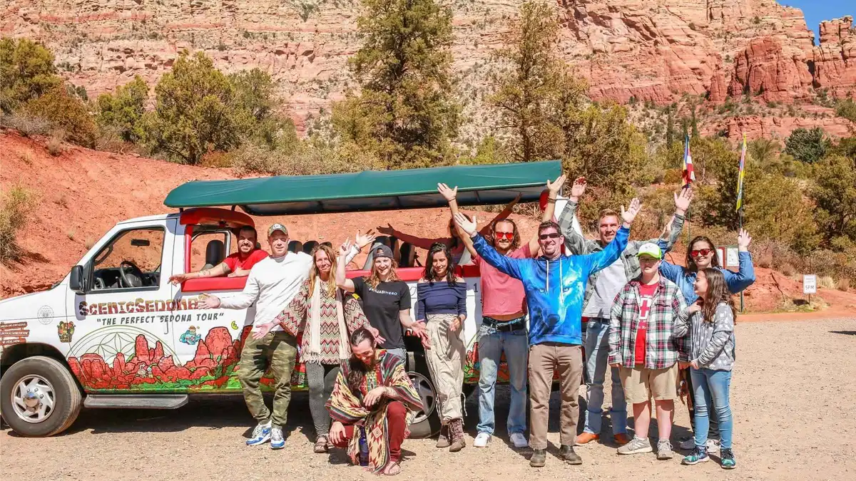
Sedona: The Magic of Sedona Highlights Tour
An open-air bus sightseeing loop with a local guide covering Sedona's geology, vortex claims, and history across several photo stops. Suits visitors who want an overview of the whole town on one short ride.
Check Availability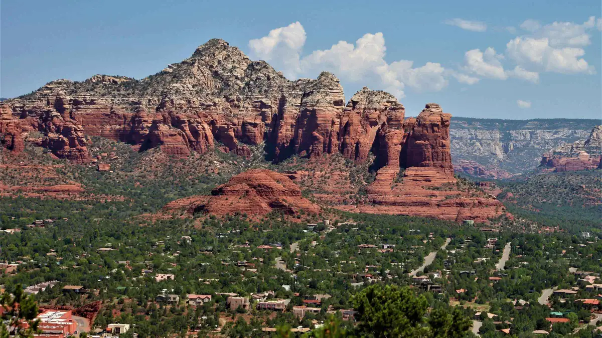 from $49.95
Sedona: Hi-Points Van Tour
A short, low-cost run to Sedona's most-visited viewpoints, positioned by the operator as a quick highlights reel rather than a full-day itinerary. Suits travelers with limited time who want the classic photo stops fast.
Check Availability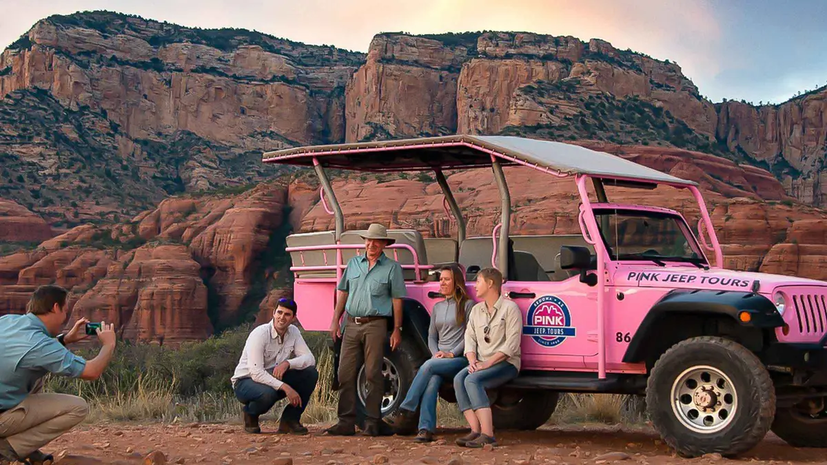 from $111.50
Sedona: Red Rock Range Pink Jeep Tour
A short Jeep run on mild dirt roads west of town to open panoramic viewpoints over Sedona's red rocks, including Thunder Mountain and Bradshaw Overlook. Suits first-time visitors who want scenery without a rough ride.
Check AvailabilityPrices, ratings and details are the platform's own, checked in Q3 2026; dollar figures are the listed prices — the platform bills in your account's currency.
Turn the area choice into a plan
Which areas suit which day
The same six areas (and a few more) compared for what they are FOR rather than where to sleep: Sedona neighbourhoods.
All within a 20-40 minute drive of each otherDo you actually need a car
The free shuttle's exact stops and hours, the Verde Lynx bus and what a rental costs to add: getting around Sedona.
Free shuttle Thursday-SundayWhat a day here costs beyond the room
Trailhead passes, park fees and meals added up: Sedona costs.
Red Rock Pass from $5/dayWhere to stay in Sedona: questions
What is the best area to stay in for a first visit to Sedona?
Uptown, at the SR-89A/SR-179 junction: Main Street's shops and restaurants on foot, and most trailheads a short drive rather than a long one. See the Uptown section.
Where should I stay in Sedona if hiking is the whole reason for the trip?
West Sedona for the Dry Creek Road cluster (Doe Mountain, Fay Canyon, two of the three Devil's Bridge approaches) and Soldier Pass, or the Village of Oak Creek for Bell Rock, Courthouse Butte and Cathedral Rock. See the comparison table.
Do I need a car to stay in Sedona?
For most trailheads, yes. The free Sedona Shuttle covers Cathedral Rock, Little Horse, Soldier Pass, Dry Creek Vista and Mescal Thursday to Sunday, 7:00 am to 5:30 pm; every other trailhead and every other day needs a car.
Is it cheaper to stay outside Sedona, in Cottonwood or Flagstaff?
Generally yes on the room rate, and both trade that saving for a real commute: Cottonwood by the Verde Lynx bus (a reported $2 one-way) or a car, Flagstaff by car through Oak Creek Canyon. See the Cottonwood and Flagstaff sections.
How much does a hotel in Sedona cost?
No official rate index for Sedona lodging is published, so this page states none; the area cards under where to sleep, by area say what kind of stay each area suits instead of a price band.
Is there a Sedona lodging or resort-fee tax I should know about?
The city's own sales tax portion is 3.5%; a specific lodging tax rate could not be confirmed from a directly fetched official page, and no city or state page defines what a hotel's resort fee may include. See what the city adds to the room rate.
What is the Village of Oak Creek, and is it the same as Sedona?
It sits south of Uptown on SR-179, absorbed into Sedona's tourist map but built up separately, with its own golf courses and a quieter, more residential evening than Uptown. See the Village of Oak Creek section.
Where to Stay in Sedona: On Video
Three walkthroughs of the areas above, filmed on the ground rather than described from a spreadsheet.
Where to Stay in Sedona: Explore 4 Best Areas (with Map!)
A map-led rundown of the main lodging areas and what each one is close to.
Video: MissTouristTop 4 Best Hotels in Sedona az
A property-by-property look at four popular Sedona hotels, useful alongside the area cards above.
Video: Travel SpotWhere to stay in Sedona, Arizona
A shorter overview comparing the town's main areas for a first-time visitor.
Video: Weekend AdventuresVideos load from YouTube only when you press play.
Reviewed Q3 2026 (July–September 2026); next review Q4 2026. Prices, hours and terms are set by the venue or operator and confirmed at checkout.
We may earn a commission if you book through one of our links, at no extra cost to you. Full affiliate disclosure